More Data Resources

Finding Data

International data is collected and published by a variety of organizations. A few of the more prominent are listed in the box below. In addition many countries collect data and publish it on their web sites. A surprising number maintain duel web sites in both English and their national language.
Map Tools
Why Maps?

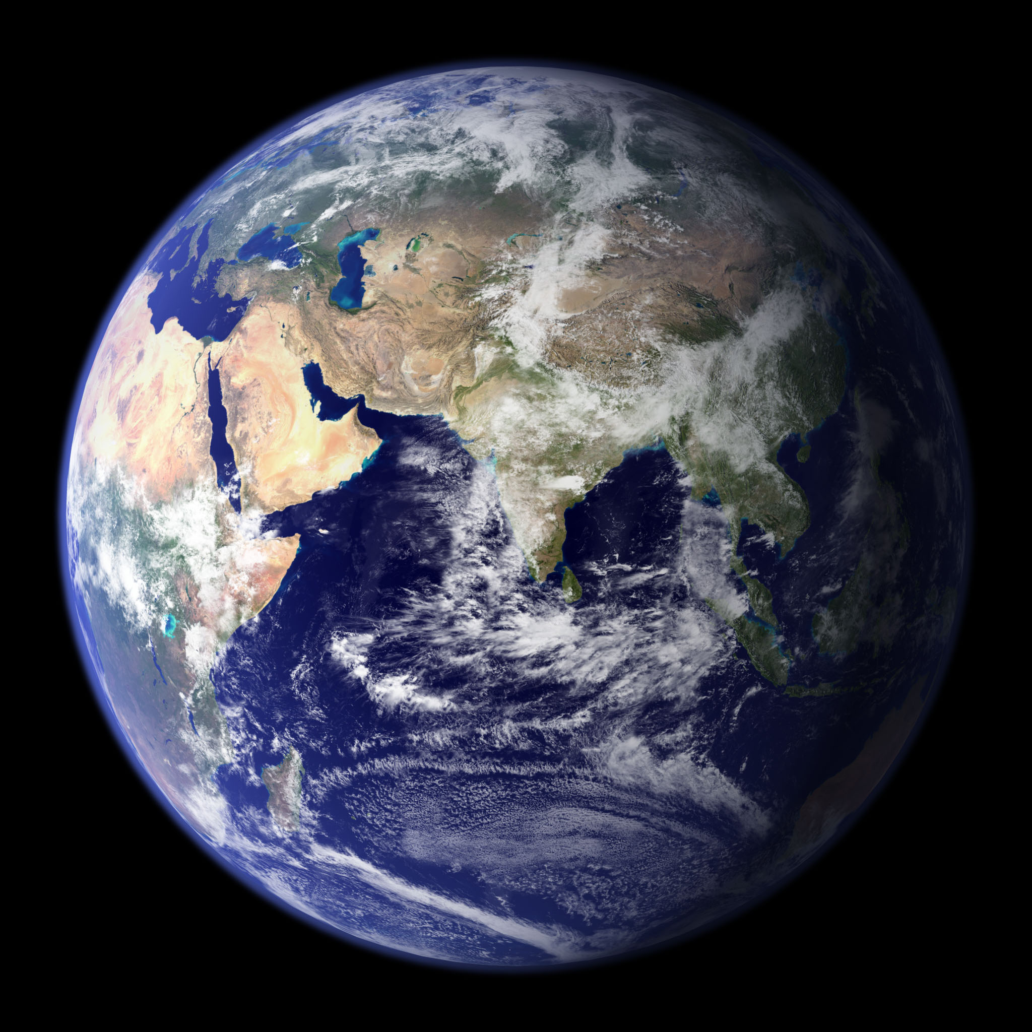
Maps have been an important tool for geographers, explorers, and scholars for centuries. We are familiar with maps that illustrate national boundaries and/or the physical features of our space. However, maps can also be used to illustrate issues, like health, demographics, literacy, income and many other social and economic characteristics.
With mapping tools like Google Earth, we can overlay historic maps with a contemporary one illustrating the change that has occurred.